COUNTRY, HISTORY & PRODUCT GENERATIONSWhere the brand began.
- Country of origin
- United States
- Time in the industry
- About 37 years since the 1989 founding
Garmin’s company origins are in Kansas in 1989. ECHOMAP Ultra 2 was announced on 24 October 2023. Product generations, chart licences and software support have their own timelines; the age of the company is not the age of a display.
Calendar-year comparisons as of 2026. Origin means the brand’s beginnings, not the manufacturing country of every product. The history sources below document the distinction.
QUALITY / WHAT THE EVIDENCE CAN TELL YOULook beyond the badge.
Garmin serves fishing as well as navigation. Assess a sonar purchase as a matched display, sonar module and transducer system. Screen resolution and advertised sonar modes only become useful when the exact hardware, mounting and software combination supports them.
The ECHOMAP Ultra 2 announcement documents scanning-sonar and LiveScope compatibility, with specific networking limitations. Ask for the current Australian configuration and a demonstration of the required functions. For ownership quality, compare repair arrangements, chart costs, connector access and the local installer’s handover rather than an unsupported brand-wide score.
MarineBrands buying analysis, informed by the linked product documentation and history references. We have not laboratory-tested these products or assigned a brand-wide quality rating.
THE PEOPLE & THE PROVENANCEThe story behind Garmin
Gary Burrell and Min Kao founded Garmin in 1989. Garmin’s company history records GPS 100 as its first product in 1991, designed for land, sea and air. The marine catalogue is part of a broader navigation business, so a marine enquiry should identify the exact device family and regional package.
- 1989
Garmin founded by Gary Burrell and Min Kao.
- 1991
GPS 100 introduced as its first product for use across land, sea and air.
History references: Garmin · company history · Garmin · Australian marine catalogue
MEET THE BRANDBring the boat’s information together.
Garmin’s marine range spans the chart screen, sailing instruments and connected onboard equipment. For owners exploring a refit, it provides several starting points: replace a display, add dedicated instrument information or plan a more integrated helm.
Start with the view from the helm
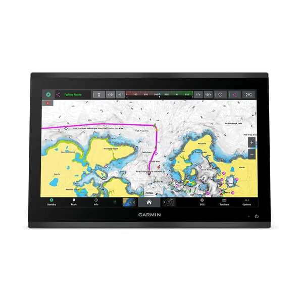
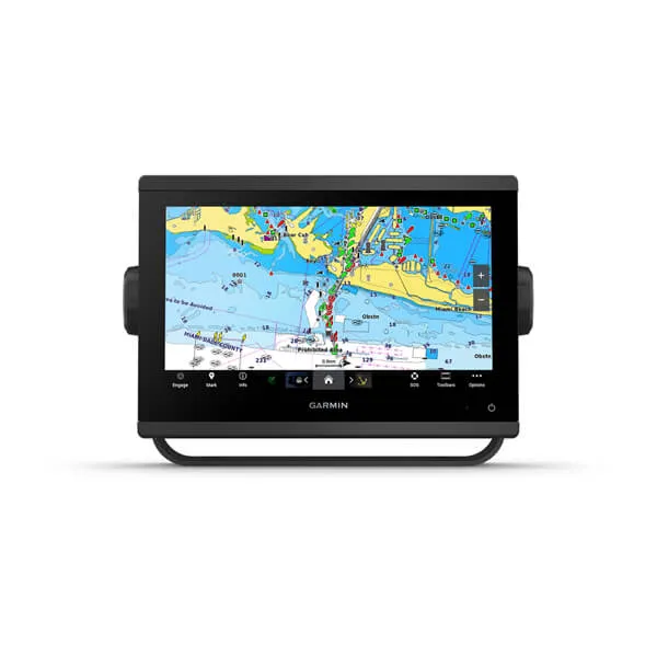
GPSMAP chartplotters provide the central charting display in many Garmin installations. The range includes different screen formats and product variants, so the model name alone is only the beginning of a comparison. Available chart packages and the equipment included in a bundle deserve a closer look.
Give sailing data its own place
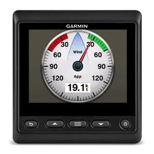
The GMI 20 is a dedicated marine instrument display for information such as depth, speed and wind from connected equipment. That separate display can be useful when the main chartplotter is being used for another task. Its range of data views supports both sailing and powerboat installations.
Build a clear equipment brief
List the sensors and network already aboard before asking about replacements or additions. Garmin’s Australian contact and dealer pages provide routes to a local discussion. The product examples below identify the equipment; Australian packaging, model variants and availability should be checked through the local channel.
Is Garmin a fit for your boat?
Start by separating chartplotting from instrument display requirements. A GPSMAP screen may be the centre of the helm, while a GMI instrument provides a dedicated data view for a crew member. List the information needed at each location.
Regional model numbers and chart bundles matter. A review of a closely related overseas GPSMAP variant can illustrate controls or workflow, but it should not be used as proof of the Australian package’s included charts, sonar or accessories.
What to check with the supplier
- Full model number and Australian bundle
- Charts, updates and optional subscriptions
- Sensor, radar and network compatibility
- Mounting, power and local installation support
 Marine