MarineBrandsDIRECTORY / 01AU Australia
Planning tools ↗
THE COMPLETE INTRODUCTION / 01

Navigation

A complete introduction to the information, instruments and steering decisions on a sailing boat.

Start the tutorial ↓
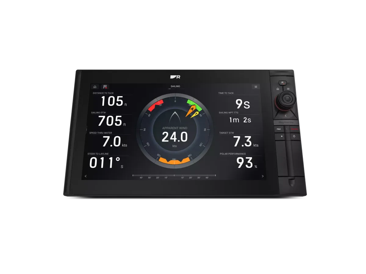
Raymarine sailing dashboard on an Axiom display
Image: Raymarine ↗

Where to start

Start with the information you need at the helm: wind, depth, speed, heading or calculated sailing data. Then explore the displays and sensors that produce it.

MARINEBRANDS FIELD GUIDE4 MIN READ · 3 CHAPTERS

Understand it.
Choose with purpose.

A complete introduction to the information, instruments and steering decisions on a sailing boat.

CHAPTER 01

Build a picture of the boat’s information system

Navigation is an activity, not a single display. The crew observes the surroundings, interprets information and decides what to do. Instruments contribute measurements; screens organise them; supported steering equipment may help act on a chosen reference. Begin by drawing those roles separately.

For a simple exercise, list the information used when leaving a berth, sailing a familiar leg and approaching an anchorage. Beside each item, record how it is obtained and who uses it. The result is a practical map of needs. It may reveal that a better-positioned instrument is more useful than another feature on the main screen.

Keep electronic assistance in context. The skipper still needs appropriate navigation skills, a lookout and a plan for loss of a device. Equipment selection should strengthen that process rather than hide it behind a specification list.

CHAPTER 02

Understand the relationships between readings

A reading has a source. Depth, wind, heading and position may come from different equipment, while some displayed values are calculated from several inputs. Ask an installer to identify the source of each priority field and explain which settings matter to the proposed system. B&G’s calibration material illustrates why input quality deserves attention.

Use the exercise to separate three projects: making a value easier to see, improving the measurement, or adding a supported calculation. Each calls for a different solution. Buying a new screen for an unexplained reading can leave the underlying problem unchanged.

When comparing proposals, ask for a simple system diagram and a list of retained components. A good explanation should let an owner follow the information from measurement to display without becoming a network technician.

CHAPTER 03

Plan the upgrade and the crew’s learning together

Write a short brief covering the boat, crew, sailing area and two or three decisions you want to improve. Prioritise the information that must remain visible. Then ask suppliers to propose a complete arrangement with mounting, interfaces and commissioning identified.

Compare the handover as carefully as the equipment. Who demonstrates the pages? Who records settings and software versions? Who helps when the crew finds a limitation during initial use? Those questions make professional support visible in the quote.

After installation, keep an equipment file and a short list of crew observations. Use the exact manuals and qualified instruction for operational procedures. A strong navigation installation is understandable, documented and integrated into the way the boat is sailed.

MAKE THE DISTINCTIONS

Compare the approaches

Use these differences to frame a conversation. This is a comparison of project approaches, not a ranking of brands.

Navigation: approaches and considerations
ApproachWhen to consider itWhat to resolve
Visibility problemThe data is useful but hard to seeReview display position and page layout.
Measurement problemA reading is missing or inconsistentInvestigate sources, connections and calibration.
Capability gapThe crew needs a specific additional functionIdentify all inputs, hardware and training required.
WORKED EXAMPLE · ILLUSTRATIVE SCENARIO

The weekend cruiser preparing for longer trips

A couple wants to improve a familiar boat before spending more time away from its home harbour.

A considered approach

They map their current instruments, identify which readings they struggle to see and ask for a phased proposal. The first phase addresses visibility and known faults; later functions are specified only where the crew has a clear use for them.

A phased plan can be ambitious and disciplined at the same time.

AVOID THE FALSE STARTS

Two mistakes worth avoiding

01

Starting with a catalogue bundle

Begin with tasks and existing equipment so the package solves a real need.

02

Treating commissioning as optional

Include the checks and crew explanation needed to make the installation useful.

THE LANGUAGE, EXPLAINED

Know the terms

Measured value
Information obtained from a sensor or source.
Calculated value
Information derived from other inputs and settings.
Handover
The explanation and records provided when work is completed.

YouSail sailing mascot
YOUR NEXT STEP

Turn the lesson into a useful brief.

Tick what you have gathered. Add your boat details and questions, then save a copy to take to a supplier.

Information gathered for Navigation
0 of 5 items gathered

Notes stay in this page and are not submitted. Download before leaving; this page does not save them.

Sources & further reading

Manufacturer and authority references for the concepts and product context discussed here. Examples and planning exercises are MarineBrands editorial; they do not imply brand endorsement or product testing.

How we research and present information →
READ BEFORE YOU CHOOSE

Practical guides to navigation

Practical advice for choosing, upgrading and looking after your equipment.

All guides ↗
CLASSIFICATION

Continue with a specialist tutorial

Illustration of instrument displays

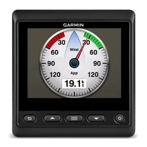
Instrument displays

Displays for wind, depth, speed and other boat data.

An instrument display is the visible end of a data system. Begin with the readings needed at each working position, then confirm the sensors and connections behind them. A dedicated display can keep essential information visible while the main chart screen is occupied.

Read the instrument displays tutorial →
Illustration of wind sensors

Wind sensors

Sensors supplying wind information to sailing instruments.

Wind data starts with the sensor but depends on mounting, connections and the instrument system. Describe whether the priority is everyday awareness, sail trimming or a racing data setup. Ask the installer to explain the proposed data path and the checks required after fitting.

Read the wind sensors tutorial →
Illustration of sailing processors

Sailing processors

Processors that calculate and refine sailing data.

A sailing processor brings inputs together for calculated data. The useful starting point is the information you want to improve and the quality of the existing measurements. Discuss the boat’s sailing programme and how the crew will use the results before comparing processor specifications.

Read the sailing processors tutorial →
Illustration of autopilots & controls

Autopilots & controls

Automatic steering systems and their controls.

An autopilot enquiry should begin with the boat and its steering arrangement. The controller is only one component: the drive, sensors, installation and commissioning shape the completed system. Have an appropriate specialist assess the actual boat before selecting equipment.

Read the autopilots & controls tutorial →
Illustration of gps chartplotters

GPS chartplotters

Onboard displays combining positioning and electronic charts.

Chartplotters combine positioning, electronic charts and connected boat information. Compare the screen and controls from the helm, then check Australian chart coverage and the equipment you intend to connect. The exact package matters as much as the product family name.

Read the gps chartplotters tutorial →
FROM PRINCIPLES TO PRODUCTS

See the thinking.
Meet the makers.

Explore named examples, then go deeper into the people, history and specialist work behind each brand.

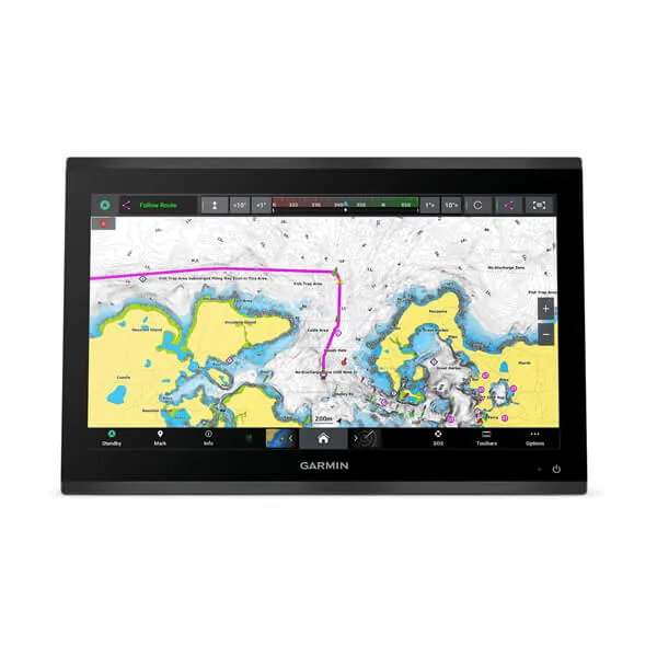
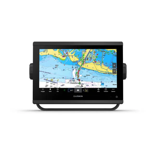
Garmin GPSMAP 9019

GPSMAP 9019

Garmin’s large-format GPSMAP 9019 combines a 4K IPS touchscreen with Garmin BlueNet networking. It is an example of a chartplotter becoming the centre of a connected helm.

Official Singapore product reference. Confirm Australian model, charts and supply. Existing Garmin network equipment may require additional integration hardware.

Garmin GPSMAP 923

GPSMAP 923

A GPSMAP marine chartplotter for viewing charts and connected boat information.

Official UK product reference. Confirm the Australian model and bundle.

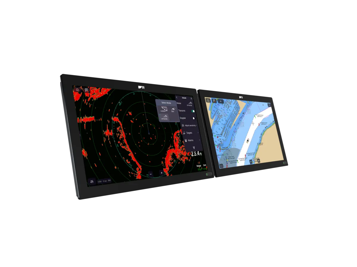
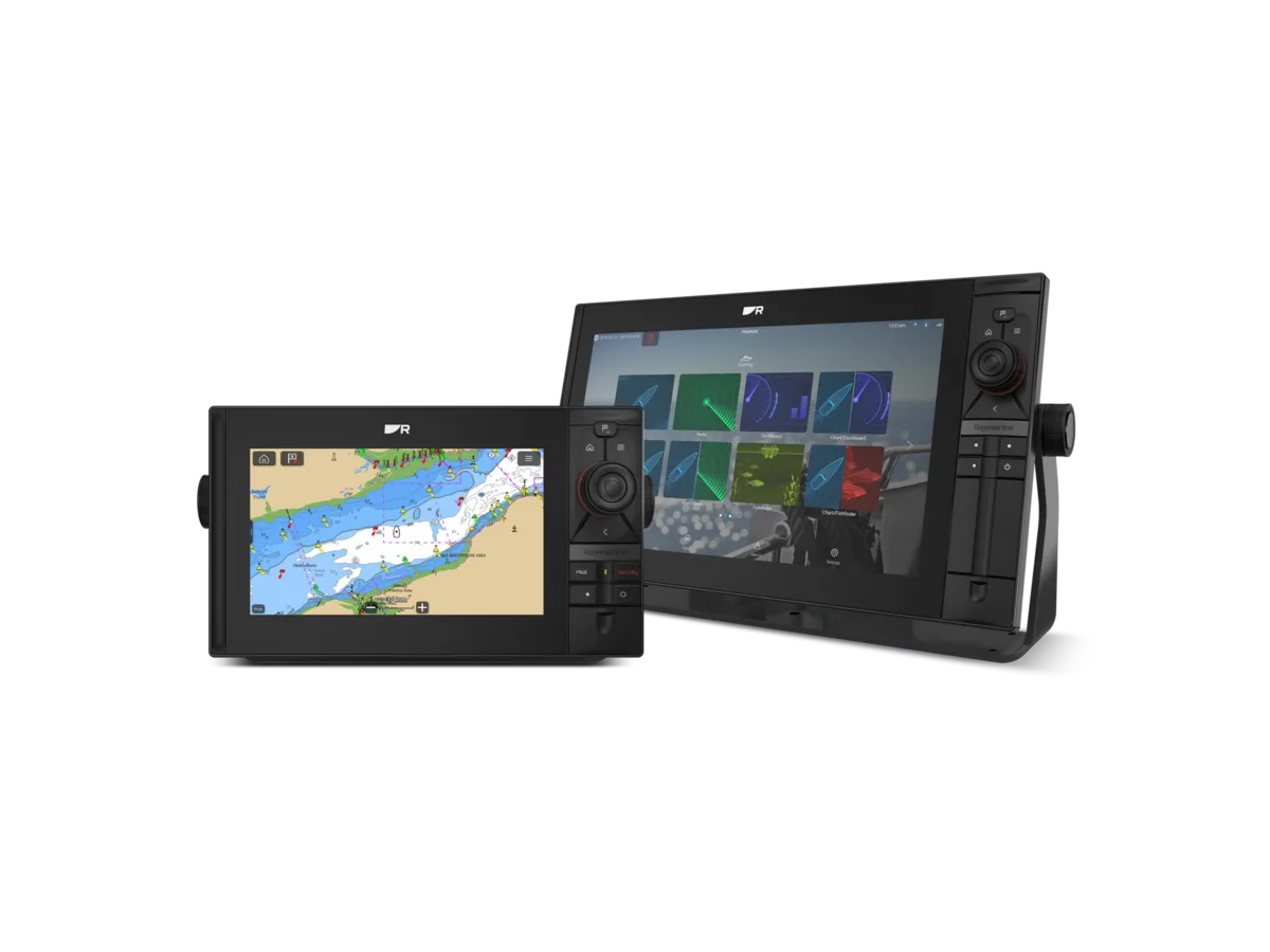
Raymarine Axiom 2 XL

Axiom 2 XL

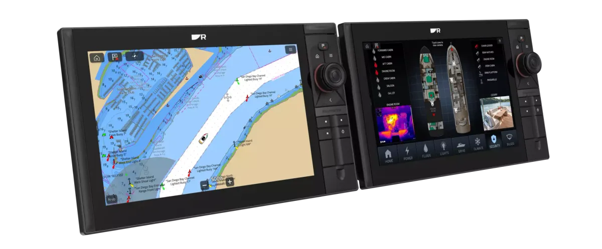
Raymarine positions Axiom 2 XL at the top of its Axiom family. Large-format displays bring charting, connected instruments and video together in a glass-bridge installation.

Ask the installer to specify chart coverage, network modules, power demand and the remote card reader. Compare the display-only and kit contents.

Raymarine Alpha performance displays

Alpha performance displays

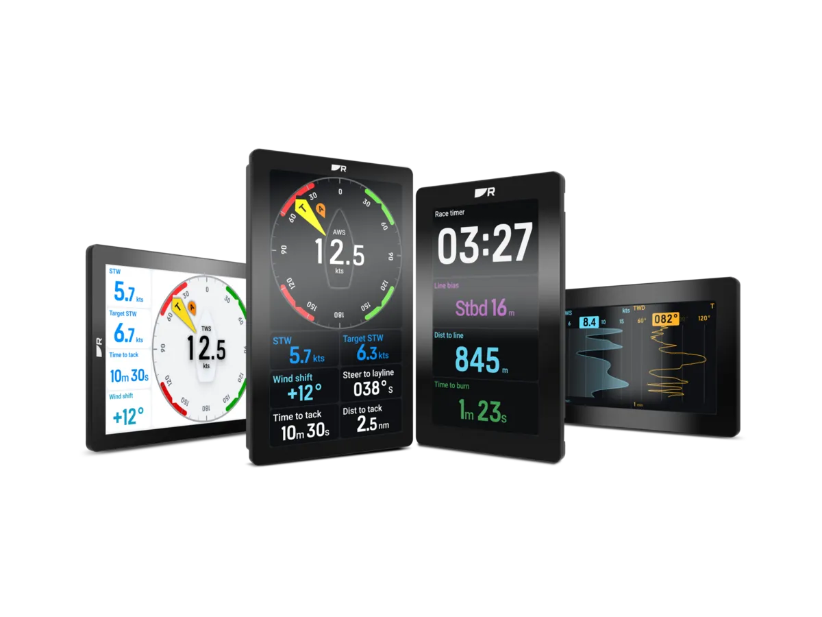
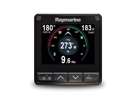
Alpha is Raymarine’s performance-instrument display family, offered in 7- and 9-inch formats with portrait or landscape mounting. It presents sailing data as part of an Axiom-connected installation.

Requires a compatible Axiom connection and appropriate data sources. Ask which sensors, cables and software versions the proposed installation needs.

Raymarine EV-200 Sail Pilot

EV-200 Sail Pilot

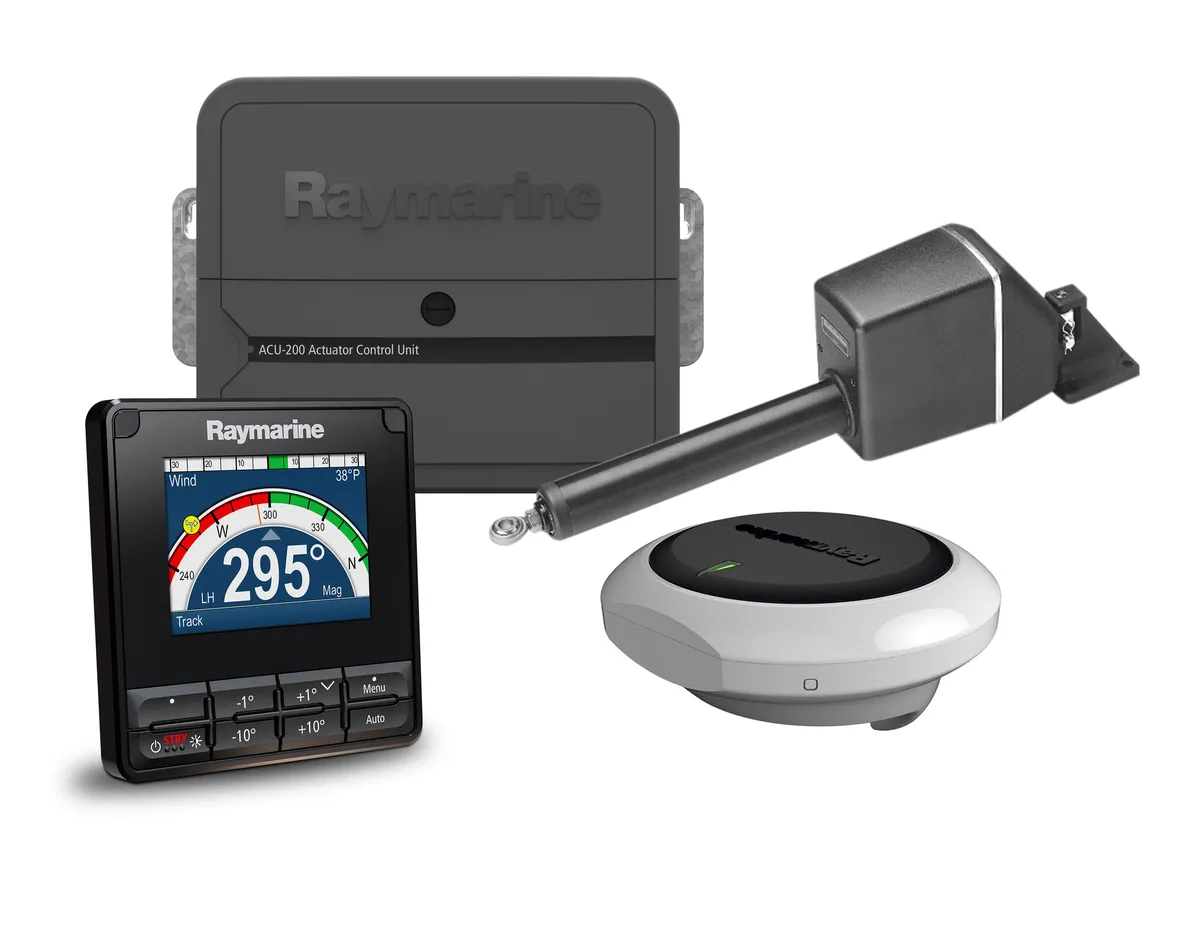
The EV-200 Sail Pilot is a system for mechanically steered sailing boats. The kit brings together a p70s controller, EV-1 sensor core, ACU-200 control unit and a Type 1 mechanical linear drive.

Official US reference. A marine installer must check displacement, steering arrangement and drive suitability. Confirm the Australian bundle and exactly what it contains.

Product images and references: the linked manufacturers. Examples illustrate the ranges; confirm the Australian specification and availability with the supplier.

THE BRANDS
Refine your search

Navigation

3 brands · Australian market

A — Z
B&G logo
Navigation

B&G

Sailing electronics for coastal cruising, offshore passages and racing.

Zeus STriton Edge
Brand advertorialExplore brand
Garmin logo
GPS & chartplotters

Garmin

Marine navigation, chartplotters and connected onboard electronics.

GPSMAP 9019GPSMAP 923GMI 20
Brand advertorialExplore brand
Raymarine logo
Navigation

Raymarine

Chartplotters and integrated marine electronics for life on the water.

Axiom 2 XLAlpha performance displaysEV-200 Sail PilotAxiom 2 Pro Si70s
Brand advertorialExplore brand
Useful answers

Frequently asked questions

Where should a beginner start?

List the decisions made on a normal trip and the information used for them. Then explore displays, sensors and steering systems as separate parts of that process.

Should all navigation equipment be one brand?

A common ecosystem may simplify some supported functions, but assess exact models and requirements. Ask the installer to explain both a retained-equipment option and any complete-system proposal.

How do I make an upgrade future-ready?

Document the present installation and ask what a specific later addition would require. A named future function is more useful than a vague promise of expandability.

Do I need new sensors when I change an instrument display?

Not necessarily. Record the sensor, display and interface models and ask an installer to confirm each required function. A new screen may retain some sensors, require an interface or need replacement inputs. Compare the complete commissioned system.

What should an autopilot quote include?

Ask for an assessment of the steering arrangement, drive, controller, required sensors and installation. The quote should identify commissioning, an on-water handover and any retained components, rather than only a new control head.

AUSTRALIA / LOCAL CONTEXT

Plan around your home waters.

Equipment briefs, service questions and official resources for Australian sailing regions. Confirm attendance with the provider.

All sailing regions →