Marine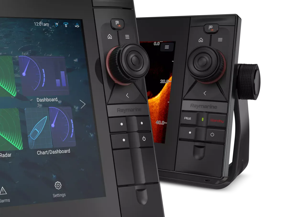
Understand it.
Choose with purpose.
Learn how position, chart content and the helm display work together.
Separate the three layers of electronic navigation
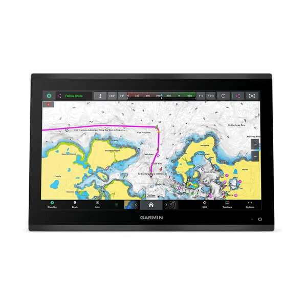
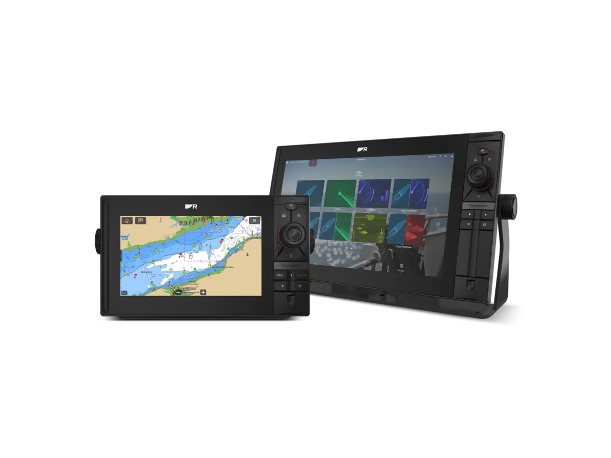
A position source tells the system where it estimates the boat is. Chart content supplies mapped information. The display brings those layers into a workspace the crew can use. Keep the layers separate when comparing equipment: a sharper screen does not by itself improve chart currency, and a chart licence is not the same purchase as the display.
Write down your sailing area and current equipment. Identify the chart product, its coverage and how it is updated. If any item is unknown, make it a question for the supplier. The Australian Hydrographic Office provides official chart and datum guidance that helps put electronic navigation in context.
The objective is to understand what you are looking at and where it comes from. Electronic presentation does not remove the need to assess chart information, conditions and the route using sound navigation practice.
Create a demonstration based on real tasks
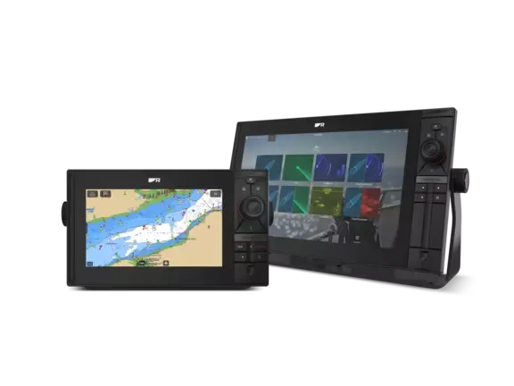
A showroom comparison is more useful with a script. Ask to inspect chart detail, locate a waypoint, review a route and return to the normal navigation view. Compare how easily the crew can perform those tasks from the intended position. Include visibility, mounting and controls in the discussion.
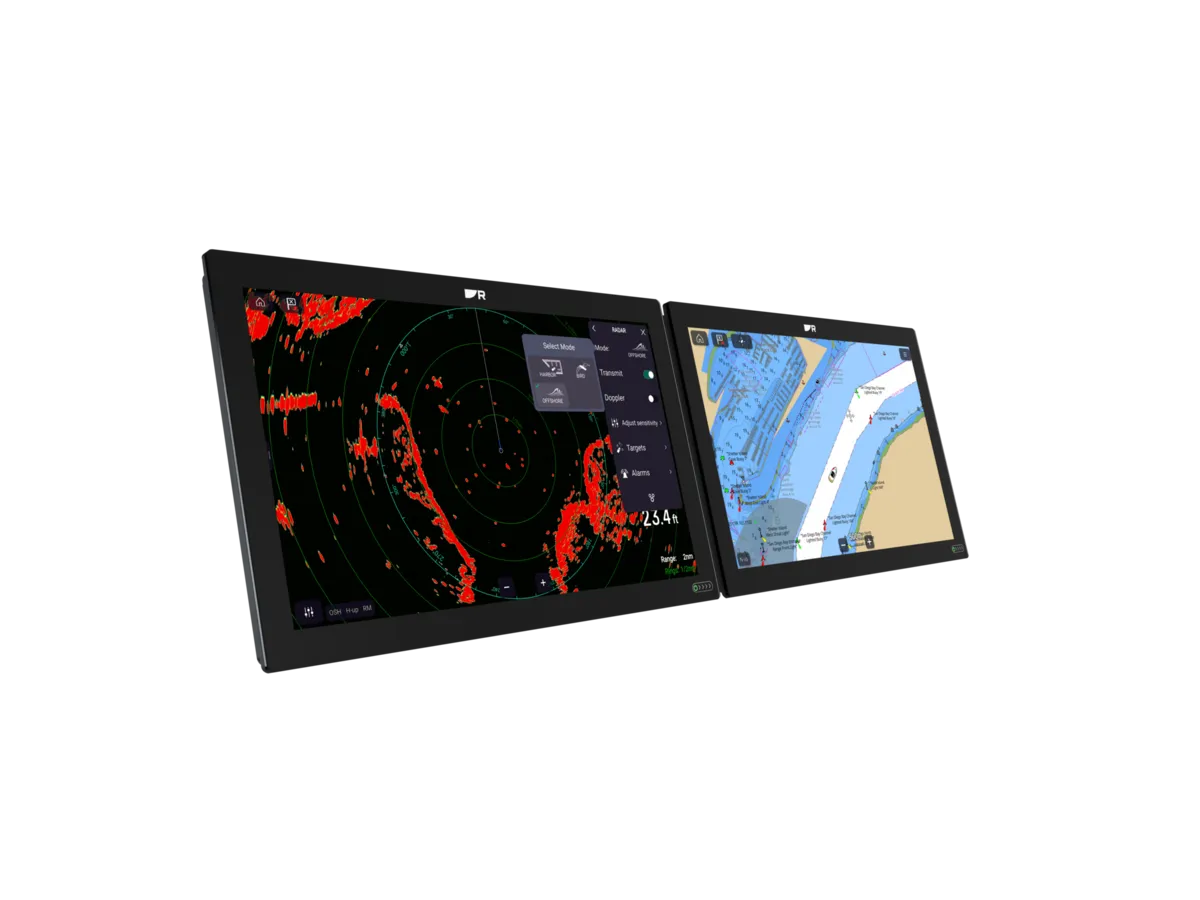
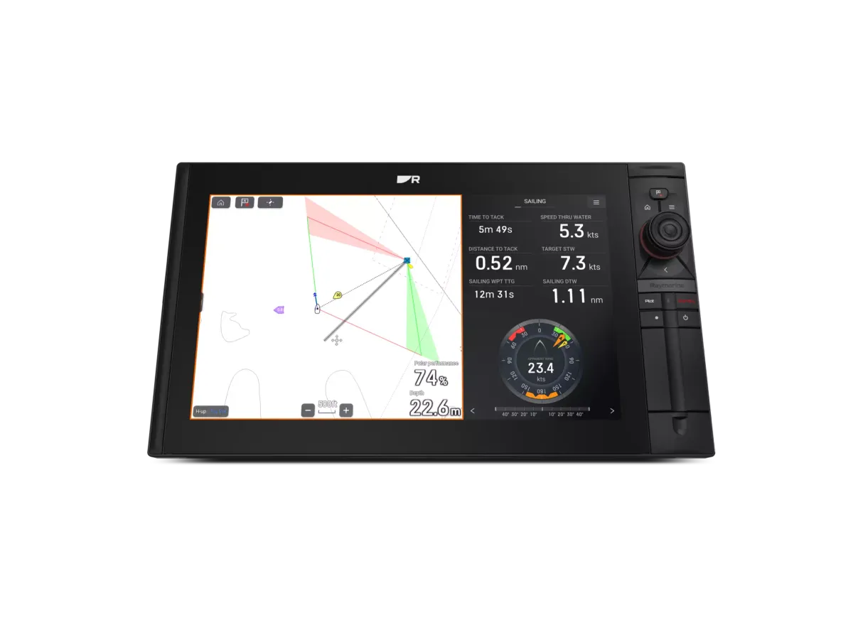
If the unit will share a screen with instruments or other information, ask for that layout to be demonstrated too. Decide which information must stay visible when another task is underway. More screen area is valuable only when it supports a better working arrangement.
Keep a note of questions rather than letting a feature tour replace the brief. The demonstration should reveal whether the proposed equipment suits your workflow and crew, not simply whether it has an extensive menu.
Treat charts, data and updates as ownership tasks
Ask the supplier to identify the chart package and any account, licence or update requirements. Confirm how saved information from the old system will be handled and which conversions are supported. Keep a documented backup process using the manufacturer’s instructions.
Agree a handover that covers the installed system and its limitations. Discuss the boat’s fallback navigation arrangements through appropriate training rather than assuming a second screen is independent of the first. Record the power and data dependencies for the installer’s assessment.
A professional purchase finishes with clear records: hardware models, chart product, retained connections and support contact. Those details make future updates and service much easier to manage.
Compare the approaches
Use these differences to frame a conversation. This is a comparison of project approaches, not a ranking of brands.
| Approach | When to consider it | What to resolve |
|---|---|---|
| Display-led upgrade | A helm needing better controls or visibility | Check charts and integration separately. |
| Chart-content review | Unclear coverage or update arrangements | Identify the product and authoritative information. |
| Complete navigation refit | A changed sailing programme or unsupported system | Include data migration, training and fallback planning. |
A plotter purchase before a coastal trip
An owner finds a discounted screen but does not know what charts it includes.
A considered approach
The owner identifies the planned waters, requests the exact chart package and update terms, and compares the complete installed proposal with alternatives.
A bargain display is not yet a complete navigation system.
Two mistakes worth avoiding
Assuming a familiar coastline means familiar data
Check the actual chart product and its information.
Ignoring saved data until installation day
Agree migration and backup responsibilities before replacing equipment.
Know the terms
- GNSS
- Global Navigation Satellite System, the general term for satellite positioning systems.
- Waypoint
- A stored geographic position.
- Datum
- A reference framework used for geographic or height information; consult the chart guidance.

Turn the lesson into a useful brief.
Tick what you have gathered. Add your boat details and questions, then save a copy to take to a supplier.
Notes stay in this page and are not submitted. Download before leaving; this page does not save them.
Sources & further reading
Manufacturer and authority references for the concepts and product context discussed here. Examples and planning exercises are MarineBrands editorial; they do not imply brand endorsement or product testing.
- Australian Hydrographic Office · official charts and notices ↗
- Australian Hydrographic Office · GNSS and chart datum ↗
- Raymarine Australia · Axiom model comparison ↗