Marine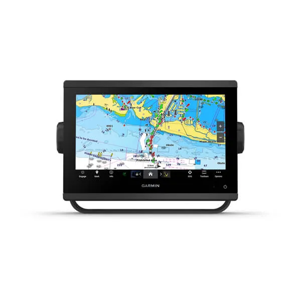
Compare complete working arrangements. A tablet, its positioning capability, downloaded charts, mount and power supply are one purchase decision; a dedicated display and its installed system are another.
Separate planning from the helm job
A tablet can make it convenient to examine a route at home or discuss an anchorage below deck. A fixed chartplotter gives you a dedicated place for navigation information aboard. Decide which job you are purchasing first, then consider whether one device or a combination meets it.
Write a normal day on the boat as a sequence: planning, departure, sailing, arriving and saving the trip. Mark where each person needs access to the chart. This often reveals that the decision is about access and workflow rather than choosing one screen to do everything.
Check the exact tablet and app
Do not assume that every tablet provides the same positioning or offline functions. Garmin’s Navionics guidance distinguishes downloaded chart content from features that need connectivity, and its offline position guidance depends on the device having an internal GPS receiver. Check your exact hardware and current app documentation.
Before purchase, ask how the app will work where you intend to sail without mobile coverage. Include the chart download process, storage, subscription conditions and a suitable power arrangement. Test readability and handling with the proposed case and mount rather than the bare device.
Budget for the whole arrangement
A tablet you already own may reduce the initial hardware purchase, but it does not eliminate the cost of a suitable mount, protection, charging or chart access. A dedicated chartplotter quote may likewise omit the detailed charts or connected equipment you expect. Put those items beside the headline price.
If the goal is to exchange routes, confirm the supported transfer method on both devices. Garmin describes compatibility and subscription conditions for particular Navionics plotter-sync functions. A shared chart brand is not sufficient evidence that every feature will transfer between your proposed devices.
Choose a setup the crew can use independently
Consider what happens when the tablet is taken ashore, charging below deck or being used for another task. In a combined setup, decide which device holds the working route and how changes are communicated. Treat a second screen as useful only when its role is clear.
A practical buying trial is to plan a short familiar route, move it through the proposed workflow and ask another crew member to find it. Confirm a suitable independent backup plan with your training and navigation needs in mind; two screens sharing the same failure point are not fully independent.
Your planning checklist

Turn the lesson into a useful brief.
Tick what you have gathered. Add your boat details and questions, then save a copy to take to a supplier.
Notes stay in this page and are not submitted. Download before leaving; this page does not save them.
Buying questions, answered
Will downloaded charts work without mobile reception?
Check the app’s current offline feature list and download the required areas in advance. Positioning also depends on the exact device; downloaded maps alone do not provide a position.
Can I use the same chart subscription on both?
Do not assume so. Ask the supplier to explain the licences and subscriptions for your app and exact chartplotter, including any transfer feature you intend to use.
Sources & further reading
Original MarineBrands buying and planning guidance, informed by these manufacturer and official references. Confirm current specifications for the exact model and Australian version.
- Garmin · Navionics features available online and offline ↗
- Garmin · Navionics Boating app and plotter-sync conditions ↗
- Australian Hydrographic Office · official charts and notices ↗
This is an editorial guide. Linked brand advertorials are identified separately; no paid sponsorship or manufacturer approval of this guide is claimed.