Marine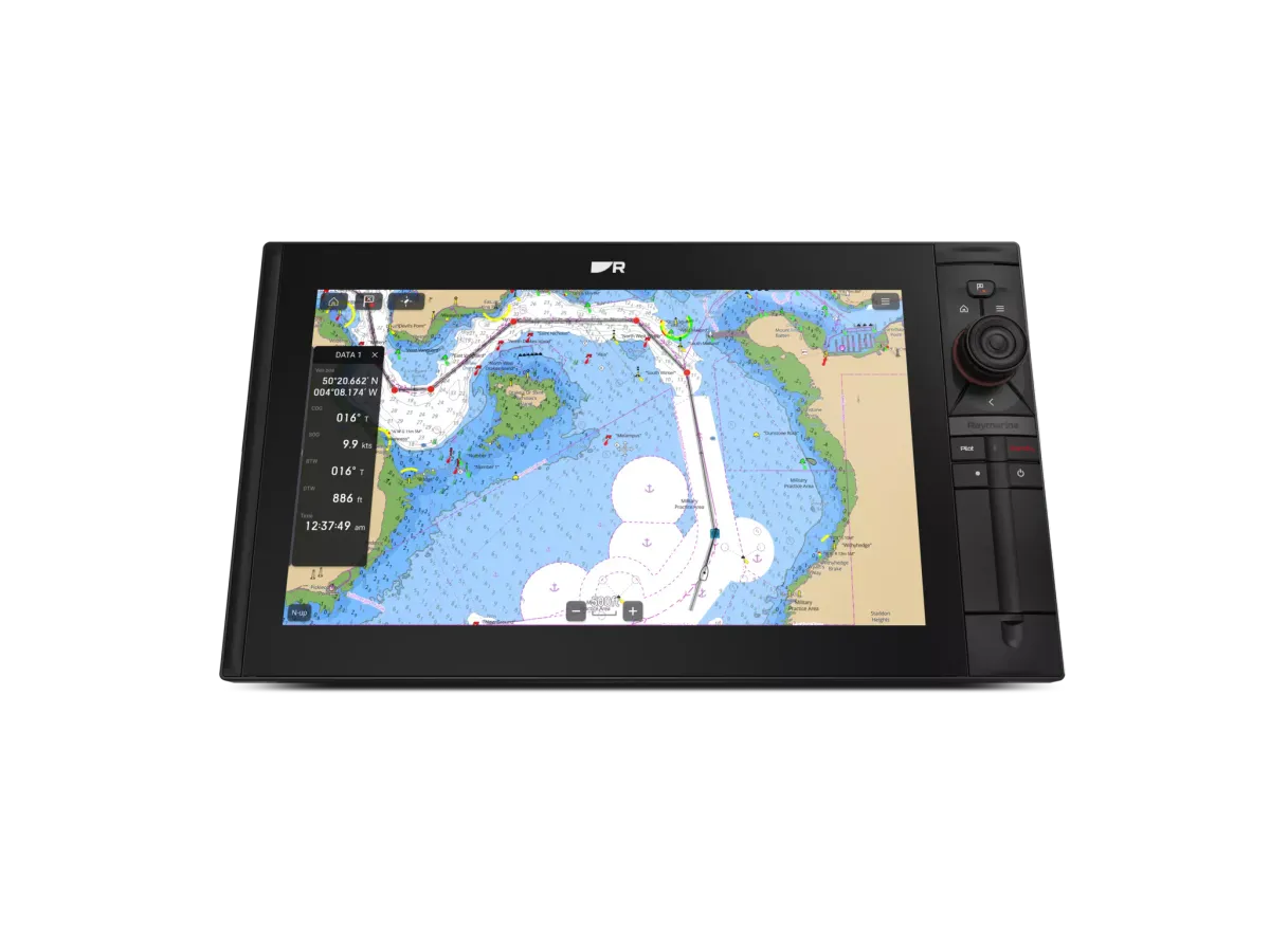
Confirm the exact chart product and coverage; a chartplotter name is not a coverage guarantee.
Name the waters you intend to use
Write down your home port, normal cruising ground and any planned extended passage. Give that list to the dealer and ask them to demonstrate coverage in the proposed chart product. A broad regional label may not answer every question about the places you visit. Include the areas you might need as alternatives, not just your preferred destination.
Separate device, charts and updates
Request an itemised explanation of the display hardware, chart licence and any update arrangement. Ask what remains available if a subscription expires and which functions depend on a connection or account. The answers must relate to the selected chart provider and model. Keep the product name and purchase record with your navigation documents so future updates are easier to identify.
Keep the chart in context
Australian Hydrographic Office information explains the role of official charts and notices. Electronic chart products and their presentation vary, so understand the source and update status of the material you use. A guide cannot validate a route or local conditions. Plan using current navigation information and an appropriate backup arrangement, and review unfamiliar chart symbols in the relevant product documentation.
Your planning checklist
- List intended cruising regions
- Ask to see coverage at useful scales
- Record chart licence and update terms
- Check official chart and notice information
Sources & further reading
Original MarineBrands buying and planning guidance, informed by these manufacturer and official references. Confirm current specifications for the exact model and Australian version.
- Australian Hydrographic Office · official charts and notices ↗
- Raymarine · chart options on Axiom 2 Pro S ↗
This is an editorial guide. Linked brand advertorials are identified separately; no paid sponsorship or manufacturer approval of this guide is claimed.